What is Geomatics Engineering?

This paper presents following topics:
In particular, the purposes, issues, and motivations of this study were investigated to set the following research questions (RQs).
RQ1
Among the well-established AI methods, which is the most commonly used in geomatics?
RQ2
Do geomatics data influence the choice of using one methodology rather than another?
RQ3
For which tasks are geomatics data used?
RQ4
Are there relationships between application domains and geomatics data?
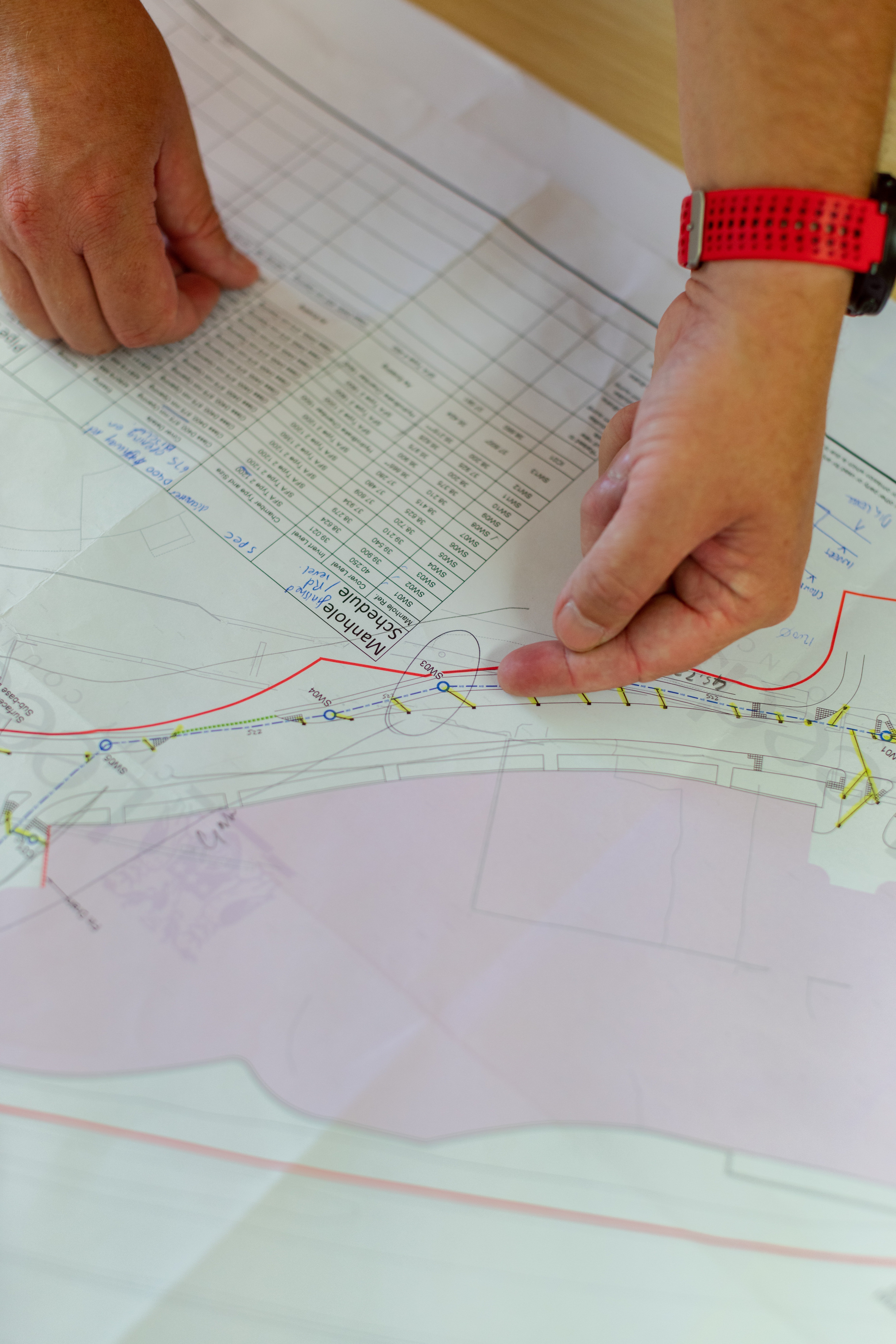
Geomatics is a discipline that deals with the automated processing and management of complex 2D or 3D information. It is defined as a multidisciplinary, systemic, and integrated approach that allows collecting, storing, integrating, modelling, and analysing spatially georeferenced data from several sources, with well-defined accuracy characteristics and continuity, in a digital format (Gomarasca, 2010).
AI and it’s subsets ML and DL clearly changed the game in data analysis.
DL has taken key features of the ML model and has even taken it one step further by constantly teaching itself new abilities and adjusting existing ones (LeCun et al., 2015).The most cited definition of ML is by Mitchell: “It is said that a program learns from experience E with reference to certain classes of tasks T and with performance measurement P, if its performance in task T, as measured by P, they improve with experience E” (Mitchell, 1997).
The purpose of DL algorithms is to replicate the functioning of the human brain by understanding the path that information takes inside and the way it interprets images and natural language. Therefore, DL architectures have found great application in image classification. In this application we can see the biggest differences between ML and DL.
In fact, an ML workflow is started with the manual extraction of significant features from images, so the extracted features allow the creation of a model to categorise objects in the image. Unlike in DL, the feature extraction from images is automatically done and an end-to-end learning is performed in which a network independently learns how to process data and perform an activity.
The main geomatics tasks solved with ML and DL models can be summarised as follows:
Clustering (Shi and Pun-Cheng, 2019);
Clustering is a process of grouping homogeneous elements, based on some characteristics, in a dataset. This operation in everyday life has an unlimited number of applications and is put into practice every time any grouping is carried out (Boongoen and Iam-On, 2018).
The various clustering methods include the following.
The first is a connection method, such as linkage, which is a hierarchical method suitable for grouping both variables and observations (single linkage based on the minimum distance, complete linkage based on maximum distance, and average linkage based on average distance).
The second is a k-means method, which is a non-hierarchical and vector quantisation method that partitions n observations into k clusters, in which each observation belongs to the cluster with the nearest mean (cluster centres), working as a prototype of the cluster.
The last is a spectral cluster, which is an approach with origins in graph theory wherein the method is used to classify communities of nodes in a graph based on the edges connecting them. The process is adaptable and allows clustering non-graph data.
Classification and prediction (Jiang, 2018);
Object detection (K. Li et al., 2020);
Segmentation (Minaee et al., 2021);
Part segmentation (Adegun et al., 2018);
Semantic segmentation (Yuan et al., 2021).
Semantic segmentation can be a useful alternative to object detection, as it allows the object of interest to cover multiple areas of the image at the pixel level. This technique detects irregularly shaped objects, unlike object detection, whereby objects must fit into a bounding box (Felicetti et al., 2021).
Semantic segmentation of point clouds is also an important step for understanding 3D scenes. For this reason, it has received increasing attention in recent years and a lot of AI approaches have been proposed to automatically identify objects (J. Zhang et al., 2019; Malinverni et al., 2019; Paolanti et al., 2019).
Will come soon…